Your cart is currently empty!
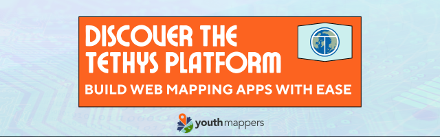
Next-Gen Mapping: YouthMappers Explores Tethys Platform
—
In Events
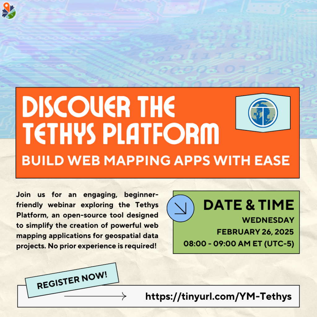
The Tethys Geoscience Foundation is thrilled to announce an exciting collaboration with YouthMappers for an engaging, beginner-friendly webinar exploring the power of Tethys Platform. Join us on Wednesday, February 26th, from 8-9 AM ET (UTC-5) to learn more about how to use Tethys Platform!
Shared Vision, Shared Impact
At the heart of both organizations lies a shared vision: making Earth science accessible and impactful. YouthMappers, with its vibrant network of university student chapters worldwide, has been revolutionizing how we approach community through open geographic data. Their commitment to creating positive change aligns perfectly with our foundation’s mission to make environmental data into easily shared and accessible solutions.
Why does this collaboration matter? With Tethys Platform, dedicated mappers can now transform their valuable OpenStreetMap data into interactive web applications that can be easily understood and used. This is where innovation meets real-world impact.
Empowering Through Technology
The webinar will showcase how Tethys Platform, our open-source software framework, eliminates barriers to creating sophisticated web mapping applications. Built on Python and supported by robust development tools, the platform allows users to focus on what truly matters. From handling complex environmental datasets to creating intuitive visualizations, Tethys Platform provides the building blocks for turning geospatial data into actionable insights.
For YouthMappers members, this represents an exciting opportunity to expand their toolkit. While OpenStreetMap has been influential in creating and sharing geographic data, Tethys Platform opens new possibilities for analysis and presentation. Imagine transforming detailed mapping work into dynamic web applications that directly address local development challenges.
This collaboration embodies our foundation’s belief that Earth scientists are strongest together. Discoveries shouldn’t remain isolated. Through our open-source community, these innovations spark conversations, inspire collaborations, and drive solutions that help Earth scientists everywhere.
What to Expect
The hour-long session will include practical demonstrations and opportunities for questions, ensuring participants leave with a clear understanding of how to begin their journey with Tethys Platform. Whether you’re a seasoned mapper or new to geospatial technology, you’ll discover how our Python-based framework can amplify your impact without getting lost in web development complexities.
This webinar marks more than just a technical training session. This is a step toward building Earth’s future together. By combining YouthMappers’ mapping expertise with Tethys Platform’s technical capabilities, we’re creating a pathway for young scientists to transform their environmental data into powerful, accessible solutions for their communities.
The environmental challenges we face today demand cross-disciplinary solutions and collaborative approaches. Through this partnership, we’re not just teaching tools – we’re fostering a community where innovation is collaborative, where students can learn from experienced developers, and where every mapped data point has the potential to make a real difference.
Join the Movement
Join us on February 26th as we explore how open-source geospatial technology can amplify your impact. Together, we’ll build a future where Earth science knowledge is accessible to all, and where young mappers have the tools they need to create positive change in their communities.
Ready to be part of something bigger? Follow our social media for further updates and announcements for future webinars and events.
Leave a Reply