Your cart is currently empty!
Disaster Preparedness in the Digital Age with Tethys Applications
—
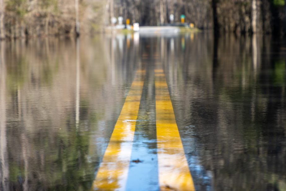
When natural disasters strike, time makes all the difference between catastrophe and manageable emergency. A few hours of advance warning can allow communities to evacuate vulnerable areas, secure critical infrastructure, and position emergency resources where they’ll be needed most.
Modern early warning systems aim to provide this crucial time advantage, transforming environmental monitoring data into actionable alerts that help communities prepare for and respond to disasters more effectively. Tethys applications play an increasingly important role in this digital transformation of disaster preparedness, connecting advanced scientific modeling with practical tools that emergency managers and communities can use when minutes matter.
Early Warning Systems
Early warning systems have evolved significantly over the past decades. Traditional approaches often relied on localized observations and relatively simple forecasting methods. While valuable, these systems frequently suffered from limited geographic coverage, delayed warnings, and challenges in communicating risk effectively to diverse populations.
Today’s digital early warning systems represent a fundamental advancement in capability. By integrating multiple data streams these systems provide more accurate, timely, and comprehensive alerts. Modern systems can monitor multiple hazards simultaneously, detect early signals of developing disasters, and deliver targeted warnings to specific geographic areas.
This evolution creates new requirements for the applications that support these systems. They must process diverse data types, implement complex analytical models, and present results in forms that support rapid decision-making under pressure. These demanding requirements make Tethys Platform particularly valuable for developing early warning applications.
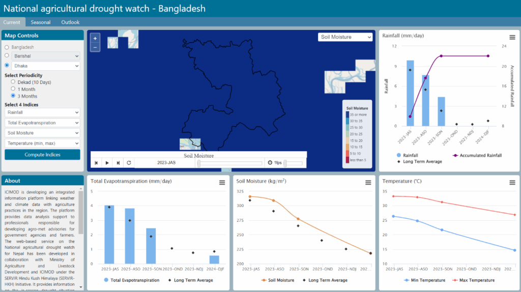
From Monitoring to Warning
Effective early warning involves more than simply monitoring environmental conditions. It requires transforming observed data into meaningful predictions about potential impacts and communicating those predictions in ways that create appropriate responses.
The Flash Flood Prediction Tool for Nepal exemplifies this transformation. The application monitors over 12,000 river segments, providing 54-hour flash flood forecasts based on precipitation predictions from the High-Impact Weather Assessment Toolkit (HIWAT). Rather than simply reporting raw streamflow data, the system translates this information into a color-coded risk assessment that clearly communicates threat levels. Blue indicates normal flow conditions, while yellow, orange, and red signal increasingly severe flood risks.
This approach helps emergency managers quickly identify which areas face the greatest dangers, allowing them to prioritize response efforts and allocate resources effectively. Community leaders can understand at a glance whether their area faces flood risk, without needing specialized training in hydrological analysis.
Challenges and Opportunities
Developing effective early warning applications presents both technical and social challenges. On the technical side, these applications must process diverse data types, implement complex models, and deliver results with both speed and reliability. They must balance the need for comprehensive information with the requirement for clear, actionable insights.
On the social side, early warning applications must accommodate diverse user needs and capabilities. They must serve both technical specialists making detailed assessments and community leaders making quick decisions under pressure. They must present information in ways that diverse populations can understand and act upon.
These challenges create opportunities for continued innovation in early warning applications. Future systems might incorporate more sophisticated impact models, improved visualization techniques, and better integration with communication channels. They might leverage artificial intelligence to detect subtle patterns indicating developing disasters or to customize warnings for different user groups.
Building Resilience Through Technology
As natural hazards continue to pose challenges for communities worldwide, the importance of effective early warning systems will only continue to grow. Communities everywhere will need increasingly sophisticated tools to monitor developing disasters, predict their impacts, and coordinate appropriate responses.
Tethys applications are perfectly positioned to support this growing need. By giving Earth scientists the tools to create interactive, web-based applications, the platform enables the development of custom solutions for specific hazards and regions. The open-source nature of these tools means that innovations developed in one place can be adapted and applied elsewhere, creating a ripple effect that extends the benefits of each advancement to more communities.
Through continued collaboration between scientists, developers, emergency managers, and communities, early warning applications will keep getting better, helping more people receive timely, useful information about the hazards they face. This evolution represents not just a technological step forward but a fundamental improvement in our collective ability to protect communities from natural disasters.
Get Involved!
Ready to learn more about how Tethys applications can support disaster preparedness in your area? We’d love to have you join our growing community of Earth scientists and developers who are working together to build stronger, more resilient communities through improved early warning systems. Together, we can make a real difference in keeping people safe and prepared!
Leave a Reply