Your cart is currently empty!
Tag: tethys geoscience foundation
-
Interactive Applications for Education
—
Earth science offers countless examples of dynamic systems that shape the world around us; rivers carving valleys, aquifers storing and releasing water, weather patterns shifting across regions. These processes are fascinating but also complex. Students might learn the water cycle but fail to grasp how precipitation patterns affect regional agriculture, or learn about groundwater without…
-
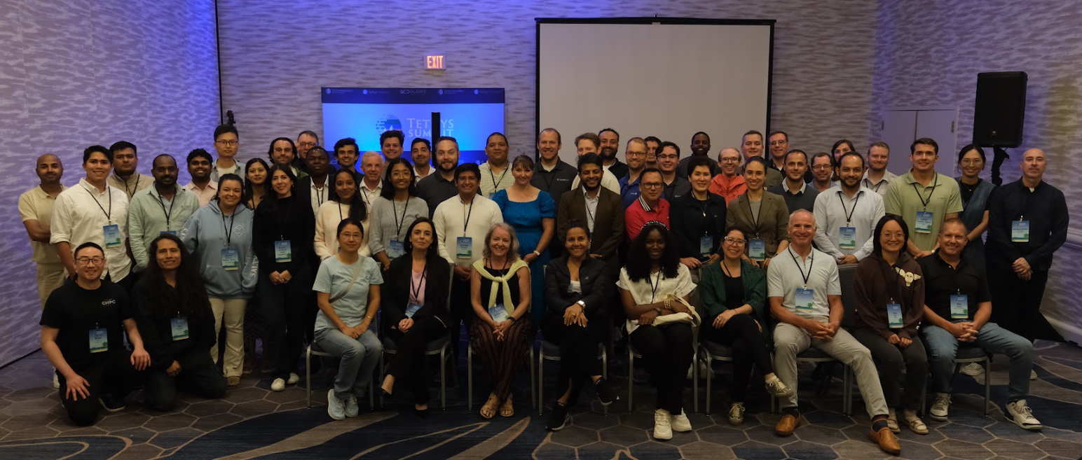
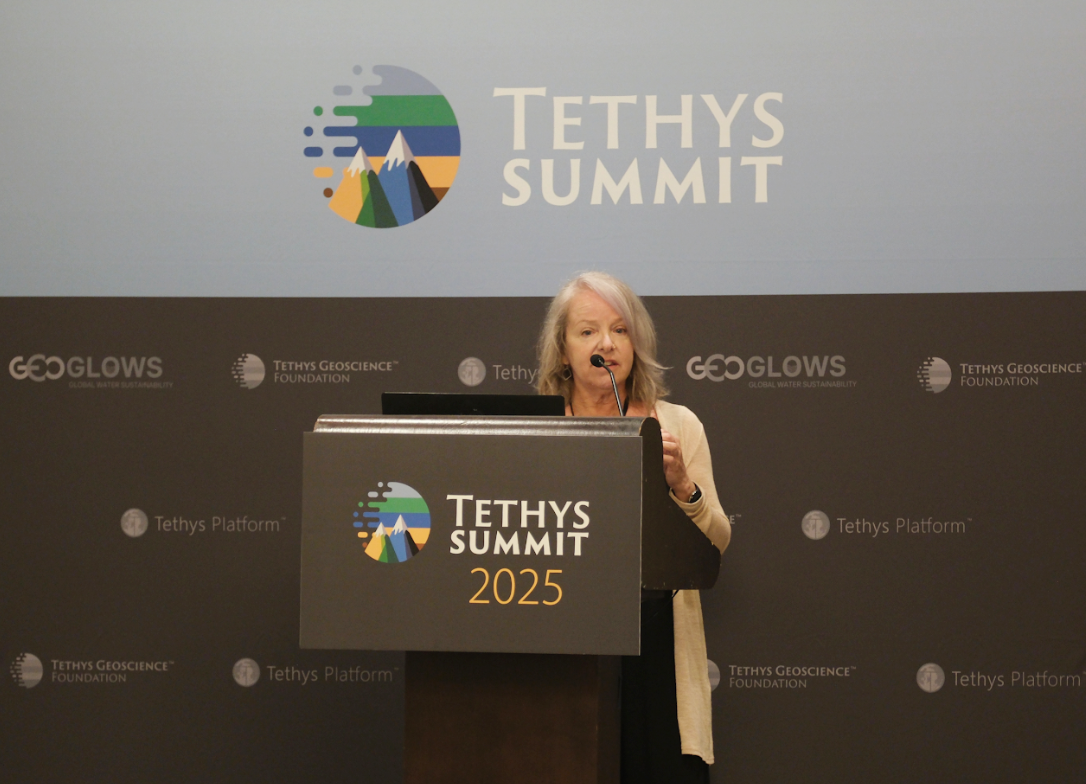
Tethys Summit 2025: A Successful Inaugural Event
—
What an incredible week it’s been! The inaugural Tethys Summit concluded last week, and we’re still elated by the connections made, innovations shared, and collaborative spirit that filled The Westshore Grand over those two memorable days in Tampa, Florida. Bringing Our Community Together From Sunday evening’s welcome reception through Tuesday’s award banquet, Tethys Summit 2025…
-
Tethys Summit 2025: Day One Highlights
—
The inaugural Tethys Summit is off to a wonderful start here at The Westshore Grand in Tampa, Florida, bringing together our vibrant Tethys community for what’s already proving to be an inspiring exchange of ideas, innovations, and connections. From longtime platform members to curious newcomers, educators to researchers, developers to decision-makers, the diverse group gathered…
-

Tethys Summit: One Week Away
—
Our first inaugural Tethys Summit is coming up next week, and we’re looking forward to bringing together the Earth science community for two days of presentations, workshops, and collaboration around open-source geospatial solutions. If you haven’t registered for this event, make sure to check out our Registration Guide and prepare to join us at The…
-
How Tethys Platform Supports Adaptable Environmental Solutions
—
Environmental challenges often require customized solutions. A flood prediction system designed for the steep Himalayan watersheds may require adaptation before it can serve the expansive river basins of West Africa. A drought monitoring tool developed for agricultural regions needs different metrics when applied to urban water supply management. This diversity of environmental contexts creates a…
-
Don’t Miss Out: 5 Things Worth Your Time at Tethys Summit 2025
—
Tethys Summit 2025 is coming soon! Registration is open and hotel rooms are filling up at The Westshore Grand. If you’re considering attending Tethys Summit 2025 but haven’t made your decision yet, here are five compelling reasons to secure your spot, and why you should book your accommodation soon. 1. Get Hands-On with Platform Features…
-

From Satellite to Community: The Journey of Earth Observation Data
—
Every day, dozens of Earth observation satellites orbit our planet, collecting terabytes of data about environmental conditions from space. These sensors capture everything from water surface extent and soil moisture to vegetation health and precipitation patterns. Yet for all its precision and comprehensiveness, this valuable information often remains inaccessible to the communities that could benefit…
-
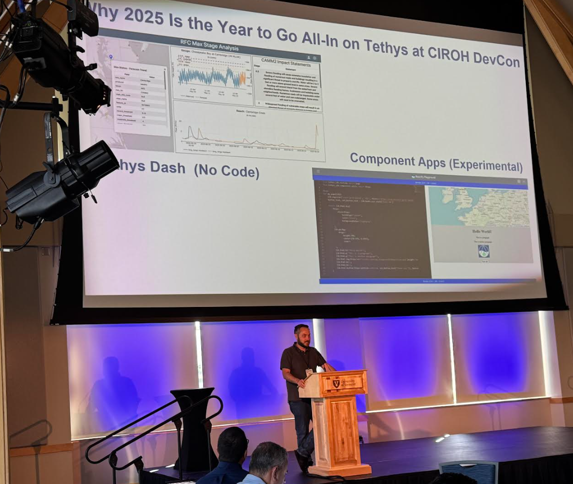
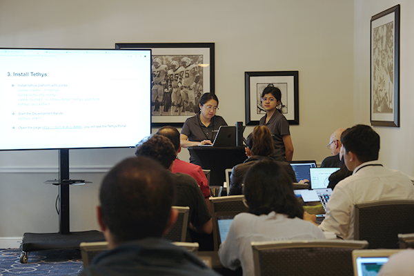
Tethys Geoscience Foundation at CIROH DevCon 2025
—
The scenic shores of Lake Champlain provided the backdrop for collaboration as the Tethys Geoscience Foundation participated in CIROH‘s 3rd annual Developers Conference in Burlington, Vermont, from May 28–30, 2025. Hosted by the Cooperative Institute for Research to Operations in Hydrology (CIROH) at The University of Vermont, this gathering brought together hydrological researchers, developers, and…
-
Tethys Summit 2025: Connecting Earth Science Innovation
—
The Tethys Geoscience Foundation is proud to announce our inaugural Tethys Summit, a two-day event that focuses on innovation and collaboration in the geospatial sciences.In today’s rapidly evolving environmental landscape, bringing together the brightest minds in Earth science has never been more essential. As we face increasingly complex challenges the need for collaborative, accessible solutions…
-

How Tethys Platform Transforms Water Resource Management
—
n the world of water resource management, the gap between data collection and effective decision-making remains a persistent challenge. Satellites monitor from above, river sensors collect data around the clock, and models predict everything from tomorrow’s streamflow to next year’s drought conditions. Despite this wealth of information, communities often struggle to translate these insights into…