Your cart is currently empty!
Meet the researchers, educators, and technologists speaking at the inaugural Tethys Summit. These Earth science professionals are developing innovative tools and applications that turn scientific research into practical solutions for environmental challenges. Our speakers represent the collaborative spirit that drives the Tethys Geoscience Foundation’s mission forward.
Keynote Speakers
Meet some of the visionary leaders shaping the future of open-source Earth science tools:

Nathan Swain
Chair of the Board of Directors, Tethys Geoscience Foundation
Creator of the Tethys Platform and advocate for open, accessible geospatial technology in the Earth sciences. He leads the foundation’s mission to transform scientific research into practical environmental solutions.
July 14th: Keynote Speaker, Contribute to Tethys Core Track
July 15th: Contribute to Tethys Core Track
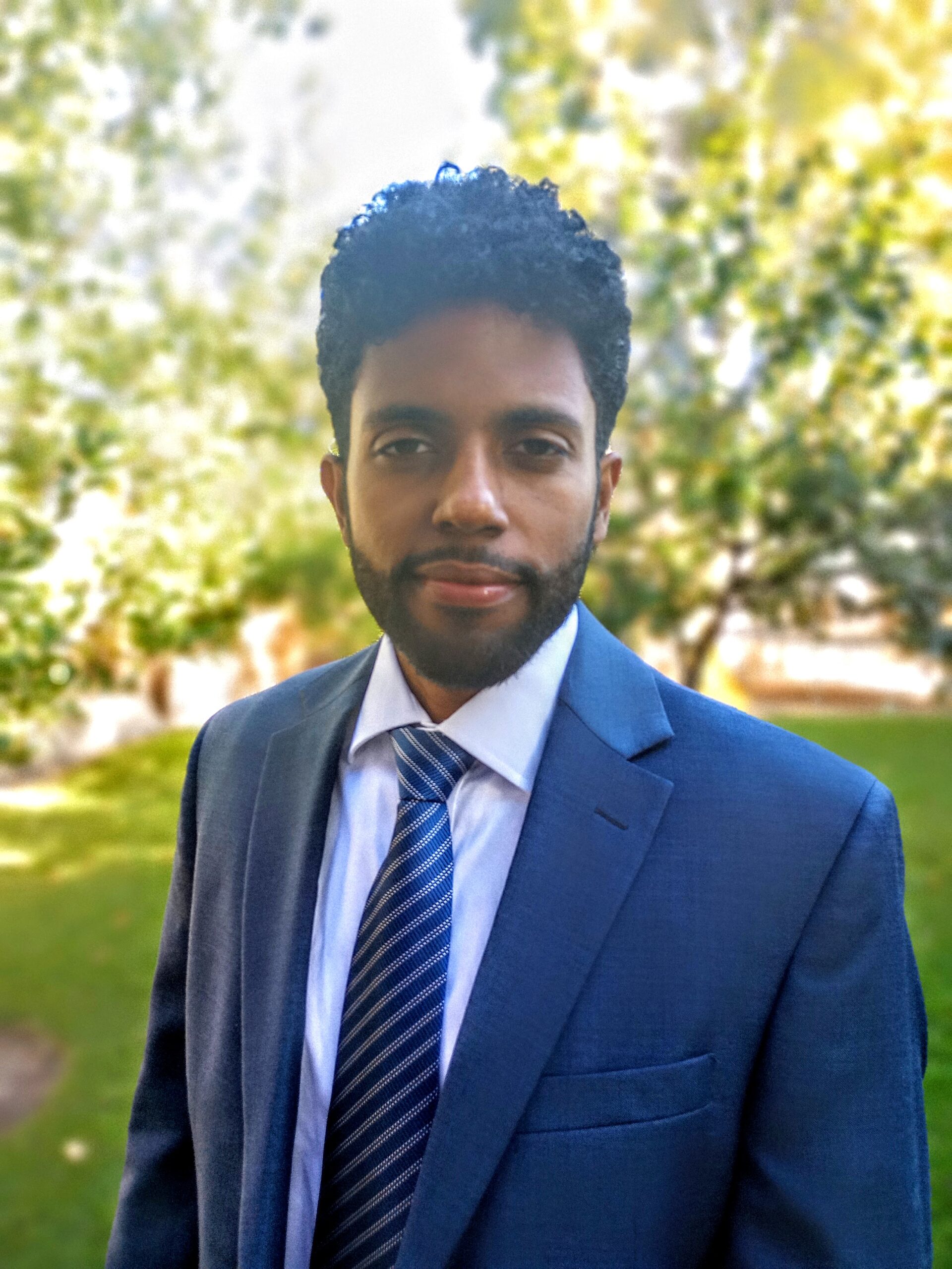
Michael Souffront
Director of Operations, GEOGLOWS
Expert in hydrologic modeling and global streamflow forecasting, contributing to innovative tools that make environmental insights available worldwide. He oversees operational systems that deliver water resource data to communities globally.
July 14th: Keynote Speaker, Data and Services Track
July 15th: Data and Services Track
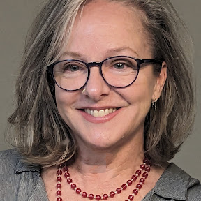
Katherine Moore Powell
Senior Water Resource Scientist, Technical Director, Lynker Techynologies
Dr. Moore Powell specializes in actionable solutions that combine research with local knowledge for sustainable water management. She has extensive experience with NASA and NOAA on projects ranging from citizen science to climate adaptation planning.
July 14th: Keynote Speaker
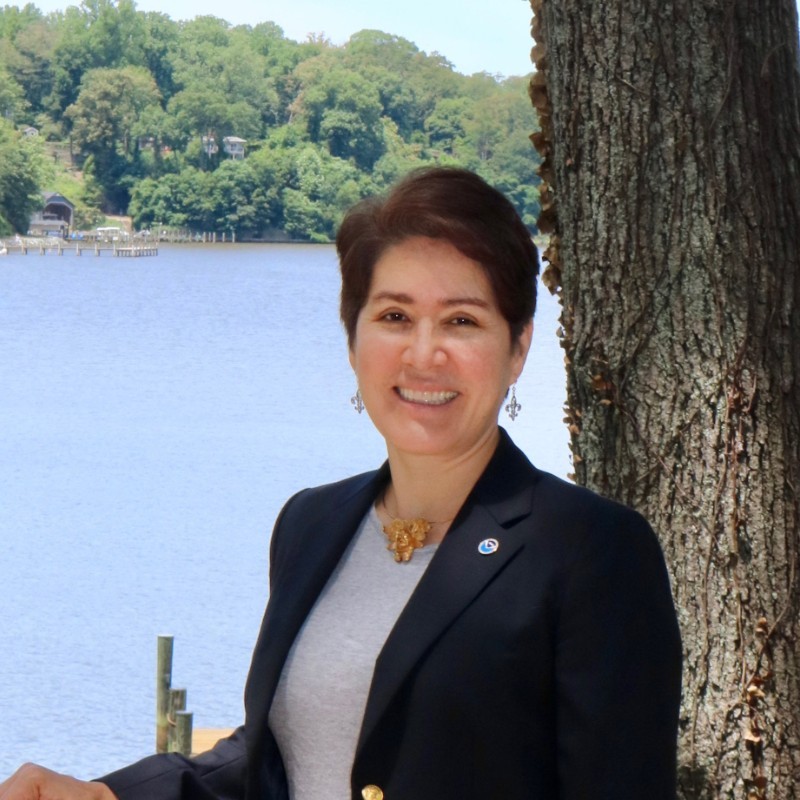
Angelica Gutierrez
Program Director, GEOGLOWS | Lead Hydrologist/Scientist, National Oceanic and Atmospheric Administration (NOAA)
An experienced engineer with a strong interdisciplinary background in physical and social sciences. She leads hydrological programs that bridge scientific research with operational water forecasting systems.
July 15th: Keynote Speaker
Dan Ames
Civil & Construction Engineering, BYU
Dr. Ames is a professor of water resources engineering and developer of several open-source software tools including MapWindow GIS, DotSpatial, and HydroDesktop. He serves as a PI for the Tethys Platform and HydroShare projects, and is Editor-in-Chief of Environmental Modelling & Software journal.
July 15th: Keynote Speaker
E. James Nelson
Hydrology & GIS, BYU
Dr. Nelson developed the first world water project for data sharing during his Dominican Republic study abroad, leading to current collaborations with NASA, NOAA, WMO, and the World Bank. His work focuses on creating accessible platforms for global water data exchange.
July 15th: Keynote Speaker
Kiran Shakya
Geospatial Application Development Specialist @ ICIMOD / Crafting Dynamic Data Solutions, GIS/RS Solution Architecture
A GIT expert with decades of experience who established NASA-USAID SERVIR-Himalaya infrastructure and developed decision support systems for climate and flood monitoring. He specializes in crafting dynamic data solutions and GIS architecture for environmental applications.
July 15th: Keynote Speaker
Presenters
Enjoy plenary conference presentations from:
Prabin Sharma
University at Albany, State University of New York
A disaster management professional with extensive experience in international NGOs and UN agencies, having supported disaster response efforts in Nepal from 2015-2022. He is currently pursuing a PhD in Information Science while researching equitable, community-centered disaster solutions.
July 14th: Enhancing Early Warning Systems through Climate-Informed Social Vulnerability Assessments in New York State (NYS)
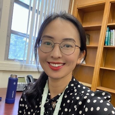
Xiaohui Qiao
University of Florida
Dr. Qiao is a Research Assistant Professor specializing in geospatial analysis, disaster impact assessment, and web GIS tool development for agriculture and coastal resilience. Her work applies data-driven approaches to real-world environmental challenges through collaboration with academic and stakeholder communities.
July 15th: Spatial Metadata Investigator: An Open-Source Web Tool for IHO S-100 Metadata Creation and Validation

Ashim Khanal
University of South Florida
A Ph.D. candidate in Industrial Engineering specializing in large-scale optimization and decision-support systems for environmental applications. He is the lead developer of AquaNutriOpt, a Python-based tool that integrates optimization modeling with hydrologic simulations to guide nutrient management strategies.
July 14th: AquaNutriOpt: Decision Support for Watershed Nutrient Management
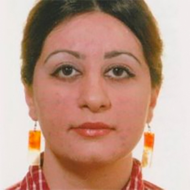
Dr. Afsoon Kazerouni
Henry Ford College
An Environmental Geologist with extensive experience teaching Earth and Environmental Sciences across multiple institutions in the US and internationally. She has worked as a natural scientist and hydrologist for various agencies including the Denmark Nature Agency and Minnesota DNR.
July 15th: Empowering Geoscience Education with Tethys: Open-Source Web Applications for Teaching Hydrogeology, Groundwater Modeling, and Sedimentology

Jose Macchi
Software Engineer, MSc in GIS and Remote Sensing
A developer with over 20 years in GIS and IT, serving as the main GeoServer Cloud deployments maintainer and contributing to geospatial development and DevOps. He brings extensive experience in both technical and managerial roles to international GIS projects.
July 15th: GeoServerCloud: Powering Geoscience Data in the Cloud
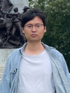
Jiangtao Liu
The Pennsylvania State University
Dr. Liu earned his Ph.D. from Penn State and integrates physics-based hydrological modeling with advanced deep learning techniques to study climate variability and human impacts on water resources. He develops GPT-based foundation models for hydrological prediction and specializes in interactive web applications for large-scale data exploration.
July 14th: GeoServerCloud: Powering Geoscience Data in the Cloud
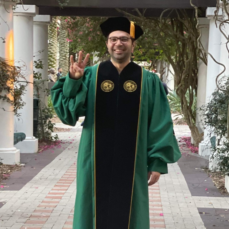
Osama M. Tarabih
University of South Florida
Dr. Tarabih is a postdoctoral researcher with expertise in hydrologic and water quality modeling and decision-support tool development. His research focuses on optimizing watershed and reservoir operations to improve water quality in large-scale systems, integrating modeling with data science for sustainable water management.
July 14th: HydroModelMatch: A Watershed and Waterbody Model Selection Tool Developed using Tethys

Bernard Minoungou
World Meteorological Organization
A hydrological engineer and Project Officer specializing in hydrometeorological forecasting and disaster risk reduction with over a decade of experience across Africa. He coordinated the design and operational rollout of SAPCI-National and SAPCI-EF5 platforms in West Africa, leveraging open-source technologies like Tethys for scalable hydrological services.
July 15th: Empowering Flood Risk Management in Burkina Faso: The SAPCI-National Experience